Michael Gallie & Partners have over 50 years of expertise in carrying out measured building surveys and over the last 5-10 years specialised in providing point cloud to BIM surveys. Below is an outline guide of our process.
Transforming Raw Data into Precise Building Models
- Access & RAMS
Ensuring unhindered access to every nook and cranny of a building is paramount for Michael Gallie & Partners. When we’re tasked with surveying active buildings, clients receive a detailed timetable indicating the time required for each floor. This way, logistics and access schedules can be planned effortlessly. Additionally, a comprehensive Risk Assessment & Method Statement (RAMS) is issued well before any on-site surveying starts.
- Survey Control Framework & Grid/Datum Setup
The core of our BIM processes, especially when translating point clouds, hinges on a meticulously constructed survey control framework. To align the survey with the official Ordnance Survey grid, our surveyors employ two high-precision GPS devices, that operate simultaneously for a minimum period of two hours.
- Laser Scanning
Every BIM project at Michael Gallie & Partners pivots around cutting-edge laser scanning. Each segment of a building undergoes rigorous scanning, ensuring no blind spots. Typically, a laser scanner, stationed on a sturdy tripod, captures data from multiple vantage points, dedicating 1-2 minutes per location. Occasionally, for specific surveys, we might utilise handheld laser scanners, providing swifter, albeit slightly less accurate data. Should you seek a vivid, colour-detailed point cloud, note that each scanning session extends by a minute.
- Office Processing to Produce Point Cloud
Back in the office, this raw laser scan data undergoes a transformation. Utilising specialist software and high-end computing power, we align and process these scans to their corresponding site grids. Post verification, this collated point cloud is segmented, floor-wise, priming it for modelling. Where nuances matter, we can create HDR visuals or immersive point clouds, leading to an interactive TrueView representation. This digital tool, offering 360° panoramic snapshots, became an invaluable asset for our clients during the pandemic-induced lockdowns.
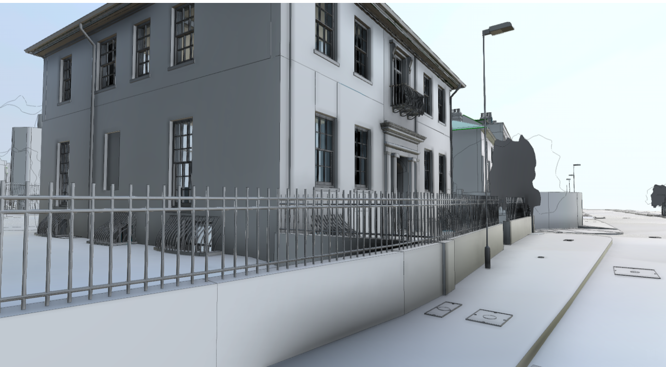
- BIM Production
The processed point cloud breathes life when introduced to BIM software like Revit. Our modellers, working in harmony, sculpt these digital renditions, using a centralised model to evade errors. Typically, different modellers work on separate floors, regularly syncing their work with the mainframe, ensuring consistency.
- Client Issue
BIM outputs are made accessible to clients via direct weblink downloads. Alongside these intricate 3D models, clients receive a drawing register, detailing model specifics, version histories, release dates, and recipient lists.
Conclusion
From the primary access stages to delivering the final BIM model, Michael Gallie & Partners ensures an uncompromised commitment to accuracy and client satisfaction.
All point cloud to BIM deliverables are issued to the client via a weblink download. All 3D models issued are accompanied by a drawing register which indicates the model issued, versioning, date of issue and people issued.
If you need any advice on commissioning a point cloud to BIM survey, please contact Sam Lloyd at Michael Gallie & Partners who will be happy to assist you in this matter.
FAQs
1. What is the significance of RAMS in the BIM process?
RAMS ensures the safety of all stakeholders during the on-site surveying phase.
2. How does the Ordnance Survey grid assist in BIM?
It provides a standardised reference, ensuring accuracy and consistency in surveying and modelling.
3. What’s the advantage of laser scanning in BIM?
Laser scanning offers high-resolution, detailed data capture, ensuring comprehensive and accurate building models.
4. Can you explain TrueView in simpler terms?
TrueView offers an interactive digital walkthrough using panoramic images from the laser scanner, letting users virtually navigate the site.
5. How do clients access the final BIM models?
Clients can easily download the models via a provided weblink, ensuring easy accessibility and sharing.